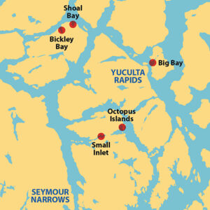
 North of the Strait of Georgia and Desolation Sound and south of Johnstone Strait, the Discovery Islands fill most of the area between the British Columbia mainland and Vancouver Island. The area is a postcard-perfect cruiser’s paradise, and one of the dream destinations for this region’s boat folk.
The gaps between the Discovery Islands are small, which makes for passages that have strong tidal currents—notable among them are Seymour Narrows, Dent Rapids, and Hole in the Wall. Piloting these passages in a small boat requires careful attention to the tide and current charts, and transit at the time of slack water is strongly advised. Once through, there are opportunities among the islands to get off the boat and enjoy a hike. Some are genuinely spectacular.
QUADRA ISLAND’S NEWTON LAKE
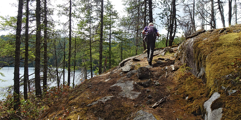
Newton Lake is near Granite Bay on the northwest corner of Quadra Island. Being a water girl at heart, Karen requires at least one swim on every trip; and Newton Lake is often the place. It’s in a beautiful wilderness setting with several rocky areas on the shoreline that make perfect places to launch into the water and dry in the sun after. Unusually for such remote places, there are three different ways to get there from a boat (and one by car).
After passing through Seymour Narrows you can anchor in Granite Bay and walk up a gravel road followed by a rocky old logging road to the lake. This is the way to the lake if you were to drive to Granite Bay after taking the ferry from Campbell River. But there are, we think, better ways if you are arriving by boat.
The Octopus Islands on the northeast corner of Quadra Island are a very popular destination with good, though sometimes crowded, anchorage among the islands. Most people get there by passing through Surge Narrows or Hole in the Wall. Once there, we usually head for nearby Waiatt Bay, which has space for a large number of boats over a flat mud bottom and, though it is somewhat open if the wind should pick up, the holding is excellent. The well-used trail to the lake leaves from the head of Waiatt Bay, first crossing a narrow isthmus to Small Inlet then climbing gently to 400-foot-high Newton Lake. It is about 3.7 miles round trip depending on which site you decide to use for your swim.
Our favorite way to get here, by far, is from Small Inlet on the west side of the island just north of Granite Bay. When there are 70 boats at the Octopus Islands and Waiatt Bay, there may be just two in Small Inlet. The entrance is narrow and somewhat shallow; deep draft vessels should use caution on lower tides. The innermost cove has room for only a couple of boats, so it’s very intimate. Getting into the inner cove does require caution as there is a curving passage with hidden reefs to be negotiated. On the south side of the inner cove, the shore juts out. We land our dinghy there and take a short path to a junction with the trail coming from Waiatt Bay. From Small Inlet, the round trip hike to Newton Lake is just 2.5 miles, another benefit of anchoring here. But wherever you anchor, Newton Lake is a wonderful hike with the bonus of a glorious freshwater swim.
STUART ISLAND’S BIG BAY

Big Bay, on the western shore of Stuart Island, sits at the conjunction of major rapids—Arran Rapids to the north, Yuculta Rapids to the south, and Gillard Passage and Dent Rapids to the west. You can’t get to Big Bay without passing through one of them.
This open bay is surrounded by large private homes and resorts, here for the fabulous salmon fishing in the nearby passages. While mostly out of the main current flow, the bottom is largely rocky and not conducive to anchoring; we always stay at the Stuart Island Community Dock and have never found it crowded; most boaters just pass by on their way to somewhere else. But Big Bay is worth a stop.
From the public dock and small store, a gravel road leads north to a turnoff for Eagle Lake. A well maintained trail goes to the lake and beyond to Basset Cove on the east side of the island. It’s about 4.5 miles round trip to Basset Cove. The star, though, is Eagle Lake, which is very well named. As we hike around the lake, we usually disturb the bald eagles in the surrounding trees. We’ve seen more than 50 take off at one time. This is their quiet place to rest when they aren’t hanging out near the rapids doing their own salmon fishing. As a bonus, there is a swimming float in the lake and a row boat on the shore that anyone can use to get out to it.
SHOAL BAY OFF CORDERO CHANNEL
Opening onto Cordero Channel at the northern end of East Thurlow Island is Shoal Bay. There is a government dock here with a caretaker and some nice facilities on land. The anchoring is somewhat marginal as most of the bay shoals rapidly from being too deep to being too shallow. We usually only stop here in June or September when space at the dock is more readily available.
There is a hike here that’s somewhat hard to find. It starts near where the creek enters the bay and climbs to a fabulous viewpoint looking north up Phillips Arm to snow covered peaks. There’s even a bonus; a long abandoned gold mine that is a short climb from the viewpoint. But if you find it, don’t go exploring without a good light; about 15 feet in from the entrance is a vertical shaft in the floor.
BICKLEY BAY
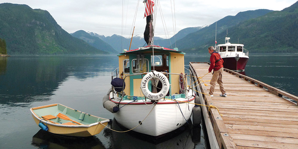
As you continue north, a new form of hiking opportunity becomes predominant—abandoned logging roads. Once active logging is over and trees are beginning to fill in the spaces but before the roads themselves become overgrown, they make for excellent hiking. Sometimes they even open out to views. And it’s hard to get lost since you are following a road. Bickley Bay on the north side of East Thurlow Island is a good introduction. When nearby Shoal Bay is full of boats and anchoring is difficult, Bickley Bay will have at most two or three boats and anchoring is easy. We definitely prefer it during the busy time of the year.
Near the bay entrance on its west shore is an obvious, abandoned logging dump. Dumps like these make good places to come ashore; there is a nice gap in the shoreline vegetation and the water is deep enough to get close to the shore at all tide levels. The logging road at Bickley Bay heads south into the interior of the island and there are side roads that can be explored. On our last hike here, we stopped when our road met one where recent logging had taken place; meaning lots of stumps but few trees. It felt like a good place for a break before turning around. This particular hike was 6.6 miles of easy walking and a maximum elevation of only 440 feet, but there is lots left to explore. We have hiked this logging road a number of times and have never met anyone else.
As you cruise this summer, whether you’re passing through the Discovery Islands on the way to or from somewhere farther north, or this region is your primary destination, these hikes and others in the area offer so much of what draws us onto our boats and subsequently ashore for splendid walks in the woods.
Michaeland Karen have been cruising the Salish Sea and beyond for more than 20 years, hiking every chance they get. For more resources for hikers visit their website at https://mvmischief.com/library/
