Top spots to visit when the nip of winter arrives
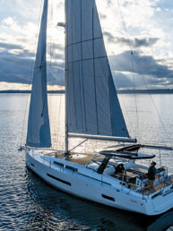
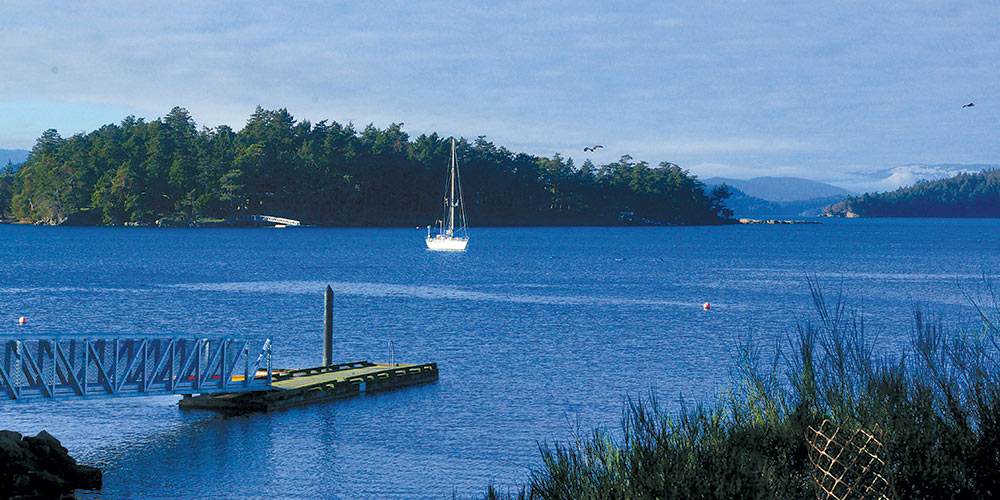
The first big fall storm arrived in the Pacific Northwest recently, and the images and stories it brought to mind were familiar. While living aboard and cruising our Grand Soleil 39, Yahtzee, throughout numerous winters on the Salish Sea, we would often head to one of several trusted anchorages to wait out blustery weather.. Some of those storms weren’t very fun to experience, but the times in between, when the magic and moods of winter appeared, we had some truly extraordinary moments.
Though storms like these obviously do happen, don’t let them deter you from getting out on the water to spend a week or weekend at anchor. With the proper heating setup keeping your boat cozy, there is a certain wondrousness that comes with being out during the change of seasons. The key is paying close attention to the weather, and finding the right spots for the conditions.
In the October 2019 issue of 48° North, I wrote an article about some of my favorite winter anchorages in Puget Sound. Now, here are a handful of my favorites starting in the Bellingham and Anacortes area, and working westward into the San Juan and Gulf islands
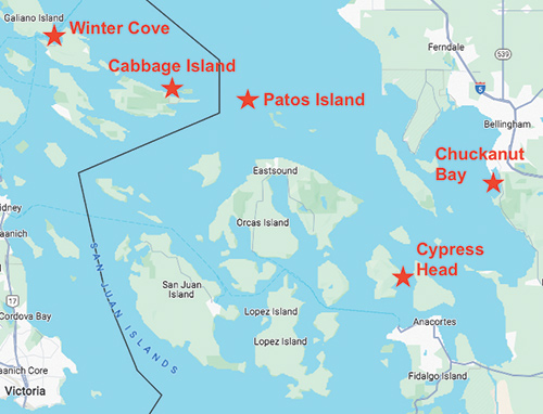
Chuckanut Bay
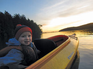
This is a special stop for our family for various reasons, and we only ever anchored here in the offseason. In the late fall and early winter of 2014, we cruised through the San Juan Islands and Anacortes/Bellingham area in anticipation of the arrival of a new crew member. My wife, Jill, was pregnant, and our midwife was in Bellingham. So we needed to come to town for appointments every two weeks until our second son, Magnus, joined our family on December 27.
Our routine was to head out into the islands for about a week to 10 days and then sail back to Bellingham for the appointments. In doing so, we found a number of great anchorages to hideout near Bellingham Bay, and Chuckanut Bay was perfect because it has spots that are protected from the north and south.
Boaters from Bellingham are well aware of these beautiful anchorages that sit below Chuckanut Mountain, but I’m not sure that many other folks are. After all, the nearby San Juan Islands seem to collect most cruisers that are on a schedule, which leaves other off-the-beaten-path locales a bit more open.
If you’re looking to take cover from a big southerly, the southwest corner of the bay is absolutely perfect. Here, pint-sized Pleasant Bay is flanked by a nearly sheer shoreline with private homes nestled amongst the trees. Depths are moderate, and we anchored here numerous times in about 30 feet. Prevailing winds are typically out of the southwest and we sat through a blow of about 35 to 40 knots one night without really noticing it. Something to note is that all of the shoreline is private. But even though you can’t stretch your legs ashore, we had fun paddling around the perimeter of the coves in our kayak. To go ashore, head north.
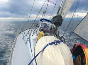
At the north end of Chuckanut Bay you won’t find perfect protection from strong winds, but it’s still pretty good. You can drop your hook up in the northerly corners in about 25 to 40 feet and the nearby train trestle will greatly reduce fetch. (The sound of the train isn’t much of an annoyance.) And if you want to anchor here in a moderate southerly, you can tuck all the way up to the western shoreline north of the charted rock to gain some relief.
In this section of Chuckanut Bay there are two spots to go ashore. Take your dinghy or kayak under the bridge at high tide, and head towards the northeast corner of the bay. There is a public park here to land your tender and, from there, you can walk up the road to Chuckanut Drive. Just be sure to head back out before the tide drops or you’re stuck—and that is some sticky mud!
The other place to go ashore is at Teddy Bear Cove Park, where you can land your dinghy on the small beach near a set of wooden stairs. The point that juts out into the bay is covered in twisted madrona trees, and the rocks are fun to poke around in. From here you can hike to your heart’s content. A maintained trail leads across the railroad tracks, and then towards Bellingham or up Chuckanut Mountain, which affords sweeping views of the San Juan Islands.
Cypress Head
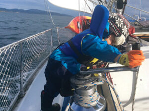
It was late in the afternoon when we sailed south down Bellingham Channel with Cypress Island to starboard and Guemes Island to port. As we neared the north side of Cypress Head, I rolled up the jib and then turned into the wind to drop the mainsail. There were no other boats in the mooring field, and we motored slowly towards the farthest ball in while closely watching the depth sounder. I could soon tell that the mooring ball was in shallower water than our 6.5 foot draft would allow for, and I turned hard to port to get back into deeper water. We ended up anchoring just outside the mooring field and had a comfortable night’s sleep.
Close to Anacortes, Cypress Head became a favorite place to pop into for a night or two. Located on the eastern side of Cypress Island and south of Eagle Harbor, there are a few mooring balls on the north side of the tombolo and room for anchoring outside of that. Along with the shallow water that comes up quickly as you approach the beach, the other concern here is current—it rips around the head and swirls into the mooring field and anchorage.
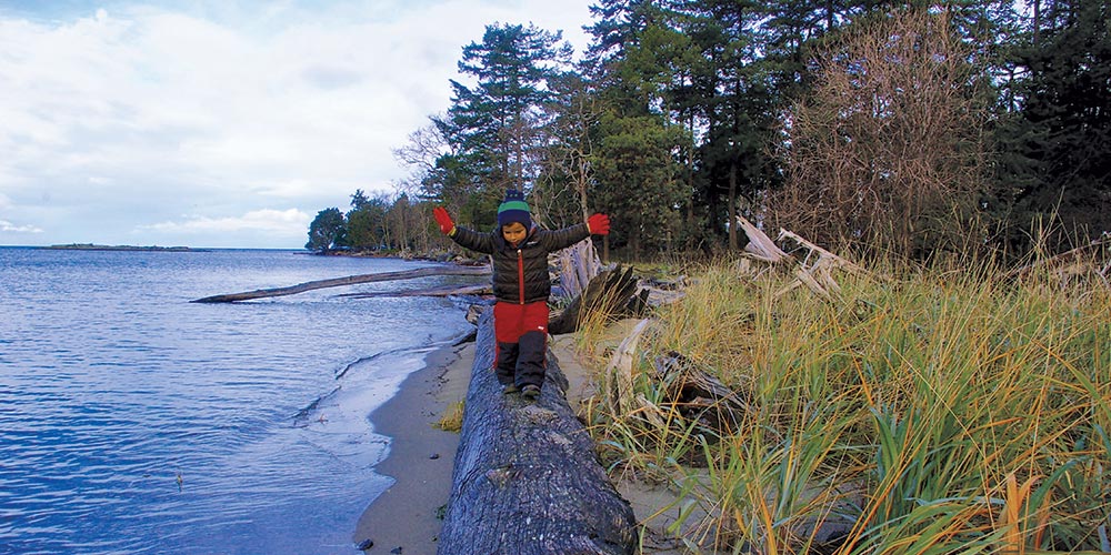
With a small campground located on Cypress Head, this is a popular spot in the summer, but far less so in the shoulder and offseasons. We loved walking the adjacent trails, and combing the rock and sand beaches on both sides of the tombolo.
Patos Island
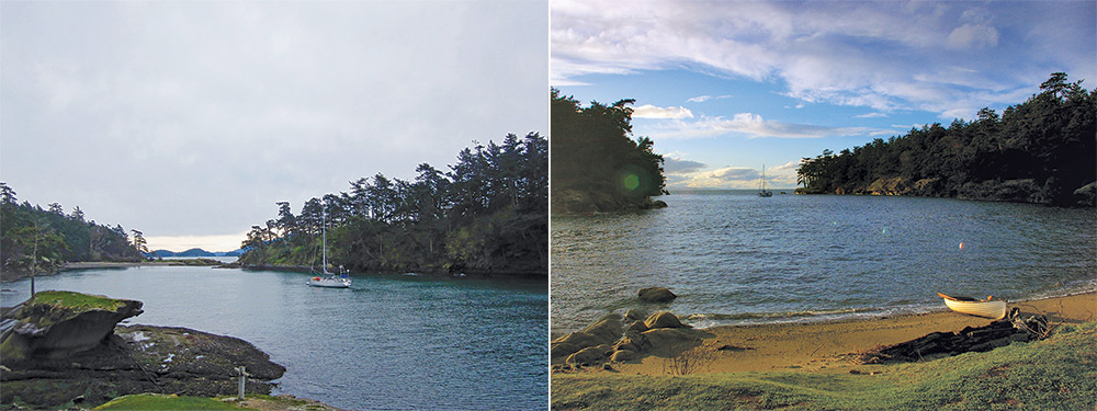
It was mid-January and pouring buckets when we sailed north from San Juan Island to Patos. Given the weather, it was no surprise that we didn’t see a single other cruising boat for the two days that we were there. The northernmost isle in the San Juan chain, Patos is a small marine state park with one narrow harbor that has two mooring buoys, some campsites, a USCG lighthouse, and that’s about it.
Anchoring is possible here, but given that there were no boats on the moorings, we chose to pick one up instead. Going ashore on the beach and walking out to the lighthouse, we were stunned by the massive amount of juvenile and adult bald eagles that wheeled overhead and hung out in the trees. Being the lone humans around, it felt like we were their guests. A highlight of Patos in the winter is the trail that takes you out to the lighthouse and then loops through the middle of the island. It feels like you’re a world away from civilization until you look out and see a passing ship heading for Vancouver.
Cabbage Island
The sun burst through the clouds as we motor-sailed into a strong current between tiny islets in the Gulf Islands. Once clear of the islands and out in Boundary Pass, the wind started piping up and we easily made the decision to fly our spinnaker. With the big blue sail rigged and flying, Yahtzee took off like a shot and we hugged the Canadian side of the pass heading eastward towards the corner of Saturna Island. After an hour or so of smooth sailing, the clouds behind us turned dark and we could sense a squall was building that would soon overtake us. It did, but we were able to pull the spinnaker down and stow it before the majority of the wind and rain hit.
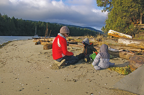
After rounding East Point on Saturna and turning into Tumbo Channel, we fought the last of the ebb while watching bald eagles soar overhead. A few miles up the channel, we made our turn through a reef, and came into a small bay between Cabbage and Tumbo Islands, which are part of Canada’s Gulf Islands National Park. We’ve anchored here before, but being that it was winter, ten empty mooring buoys awaited and we had our pick of the litter.
We spent the better part of three days moored between the islands and Cabbage quickly became one of our favorites in all of the Gulf Islands. Small and low-lying, the island is ringed by diverse beaches that range from fine sand to small pebbles and hard sandstone. The sand, of course, was perfect for our boy’s beach toys, and we spent a gloriously sunny morning digging and then hiking around the island.
There are no true hiking trails on Cabbage Island, so the best way to explore it is to walk around the perimeter. This walk is best done at low tide, as there is more beach exposed, but we did it at both high and low tides, and felt that each offered a completely different experience. The middle of the island is made up of marshes with stands of madrona, garry oak, and Douglas fir trees interspersed throughout. And the island’s flora is an important nesting site for black oystercatchers and bald eagles. Except for the birds, seals, and an occasional freighter passing in the distance, there were no other signs of life on or around the island. It is one of those places that we always want to return to—especially in the winter.
Winter Cove
I’m not simply mentioning Winter Cove in an article about winter anchorages because of the name, but it certainly is great in the offseason. Most experienced Gulf Islands cruisers know Winter Cove as a bustling summer anchorage that hosts an annual lamb roast on July 1st. While it’s fantastic in the summer, it takes on a whole new demeanor in the winter.
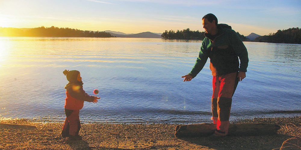
After a stop in nearby Ganges, we found ourselves here just in time for a good bit of southerly wind that abruptly shut off overnight and then, lo and behold, the sun made a grand appearance. Our family scurried to shore to play football in the grass, and hike the nearby trail to watch the current rip out through narrow Boat Passage. Backed by forested Douglas fir upland, open meadows, and a salt marsh, the trail loops through the forest and then along the Winter Cove shoreline to the open waters of the Strait of Georgia.
That evening, we decided a fire and s’mores would be appropriate, and we got it crackling while watching the sunset. As the sky lit up through a range of stunning reds, oranges, and pinks, it was one of those moments in between winter storms that made being out there so incredibly worth it. There truly is nothing like the Salish Sea in the winter.
Andy Cross is the editor of 48° North. After years cruising the Pacific Northwest and Alaska with his family aboard their Grand Soleil 39, Yahtzee, they sailed south and are currently in the Caribbean Sea. You can follow their adventures at SailingYahtzee.com.
Andy Cross
Andy Cross is the editor of 48° North. After years cruising the Pacific Northwest and Alaska with his family aboard their Grand Soleil 39, Yahtzee, they sailed south and are currently in the Caribbean Sea. You can follow their adventures at SailingYahtzee.com.
