From the March 2011 issue of 48° North by Gary Dickinson
When our son was young, going to his grandparent’s house, he would say those universal words we all have heard, “Are we there yet?”
That got me to thinking. How do we know what our new destination will look like when we arrive? How long it will it be before we arrive at a new cruising destination if we are unfamiliar with the sights along the way? Nowadays, we have GPS, electronic charts, cruising guides and so forth to make the passage less stressful and more enjoyable, but I want to recount what can happen when we do not do the prep work we should for a passage and what can happen when “Murphy’s Law” is in full force.
You all know that Murphy’s Law states that anything that can go wrong will go wrong at the most un-opportune time. I want to share what happened when I was not as prepared as I thought I was while making a singlehanded passage to a place I had never been before.
In 2009 I was lucky enough to have the opportunity to take an extended vacation and trailer my Macgregor sailboat from Washington to the East Coast, with the plan of sailing the Florida Keys and then crossing the Gulf Stream to explore some of the “Islands in the Stream.”
After launching at Fort Lauderdale and exploring the Keys all the way to Key West, I found myself with hundreds of other cruisers in Marathon preparing to make a winter crossing to the first island group I planned on exploring, the Bahamas.
Several cruisers were waiting on weather windows, the norm in the winter months, to cross the Gulf Stream to their chosen cruising destination. While at Marathon I attended cruising seminars conducted at the marina, talked to many who had made the passage, read through the various cruising guides and looked over charts deciding on the best landfall, time of departure etc. Since I planned on buddy boating to make the crossing, I spent the majority of my time attending sessions on fishing, cooking, anchoring and other topics that interested me.
There were two articles I read, in addition to ongoing emails from a cruising couple I met at Marathon who were already anchored at North Bimini, that helped me decide to make it my first landfall once I crossed the Gulf Stream. In one article the author described a brand new modern marina being built with a sketch showing the marina and what it would look like. According to the article, dated a year ago, the marina should be done now and it looked like it would be a great place to make my first landfall. Another article I read talked about Bimini Blue Water Marina, also on the island of North Bimini. These two articles helped paint a picture in my mind of what to expect when I would eventually make it my first port in the islands.
In one of the lectures I attended they talked about buddy boating with a boat that had a comparable speed to your boat. Not a good idea to try and pair a full displacement sailboat with a sport fisher. The sailboat would lag far behind and the safety factor of buddy boating would be lost
I made friendships with several cruisers while I was at Marathon waiting for a new solar panel to arrive. I had it all planned out, I was going to buddy boat with these veteran Bahama cruisers who had a catamaran and could get into the same protected shallow waters that my Macgregor could with its retracting keel. Since they had been to the islands several times I would be relying on their expertise to have a safe stress free passage.
I was planning to make the crossing with them but I was still waiting on parts when the weather improved and my cruising friends left to make the crossing.
So now I found myself having to make a singlehanded crossing of the Gulf Stream to the Bahamas with a very small weather window. Because of the short time frame to make the crossing, I sailed from Marathon to Rodregis Key, off Key Largo, a popular starting point, where I anchored for the evening. I was hoping to get some sleep before it was time to start the crossing at three in the morning. I calculated that I needed to leave at that time to cover the 72 miles and arrive in port at North Bimini in the early afternoon.
The anxiety of having to make a crossing alone, coupled with the fact that I would have to leave in the middle of the night, sailing between two reefs before I made open water, did not allow me any sleep. I hated sailing at night ever since I hit a crab pot off Trinidad Head, on the Pacific Coast, fouling my prop and pulling the prop shaft loose from my engine. Having tossed and turned for several hours I picked up the hook and left at two in the morning to make the crossing.
Daybreak saw the wind and seas building and my speed increase to 12.2 knots. At which time I reefed the main. As the wind continued to build my speed increased to 12.4 knots, even with the reefed main, so I lowered it and, with the jib reduced to 50%, I sailed the rest of the crossing to North Bimini at 11 kts.
The chart for the entrance to North Bimini showed surf, which reminded me of many bar entrances on the west coast. There are no rivers crossing the narrow entrance but because of the shallow entrance it can still have breaking waves at times, depending on wind, sea and tide conditions.
I was happy to have made such a fast passage and because of my early arrival the entrance to the harbor was no rougher than the sea itself. The only disconcerting thing was the wrecked vessel on the beach north of the entrance to the harbor.
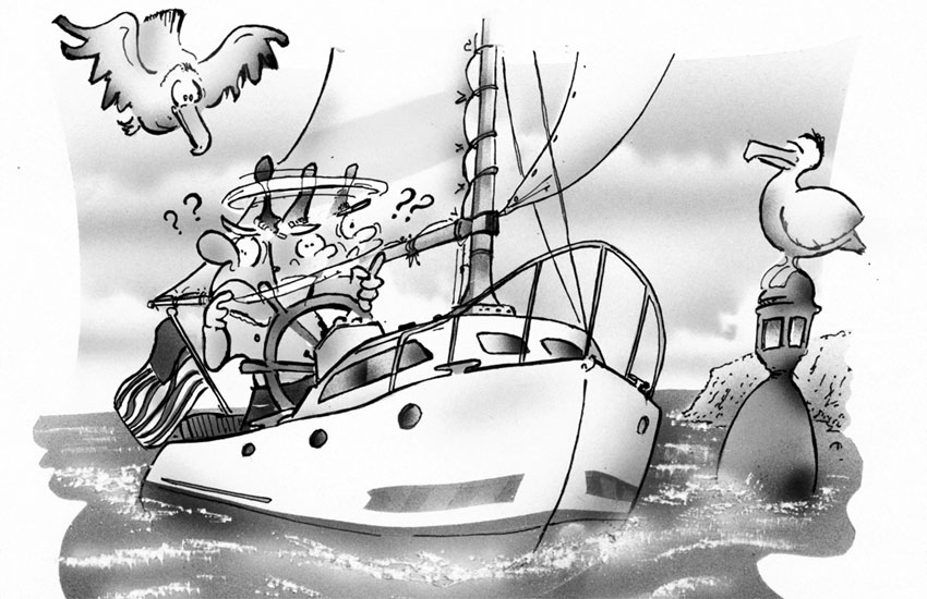
Once I entered the harbor I saw nothing that I thought I would see. The channel in the harbor was very narrow with no water on the southern side. I was expecting to see a large anchorage and saw only one small boat anchored near the northern shore. I had read about a new marina that was supposed to be here only to discover that construction was stopped and it was not finished. I had read several articles that mentioned Bimini Blue Water marina but did not see anything that looked like a marina to me. Where were the docks? What I saw was a few buildings on the water’s edge with planking attached to fixed pilings that could possibly hold six to eight boats in front of each of the building, one of which looked abandon.
I was so sure that this could not possibly be where I was supposed to be that, against my better judgment, I headed back out to sea in building wind and waves. My lack of sleep may have had some impact on my lack of good judgment. I sailed to South Bimini which then made me certain that I had, in fact been, at the correct place before, even though it was nothing like I envisioned it to be.
It was now late afternoon and I would now have to cross the entrance to North Bimini with breaking surf on the entrance. Crossing the entrance to the harbor reminded me of crossing the Columbia River bar when it is bad. I had breaking waves filling the cockpit twice before I could get across the entrance and drop the hook glad, to have this ordeal over but still confused about this harbor.
While I had been gone on my quest to find what I thought would be North Bimini, another vessel had arrived in port and was anchored next to the other vessel I had seen earlier. He was putting his dinghy in the water as I dropped my anchor and I was able to get a ride to shore with the skipper of this new vessel and we cleared customs together. I was, indeed in the right place.
The importance on knowing what to expect when you get to a new cruising destination cannot be over emphasized.
Boaters in the Pacific Northwest are blessed to have 48° North and many cruising guides as resources so they know what a port will look like and what to expect when they arrive such as docking facilities etc. These guides will save you the anxiety and frustration I experienced on my passage and you will be able to answer the question with certainty when they ask, “Are we there yet?”
Joe Cline
Joe Cline has been the Managing Editor of 48° North since 2014. From his career to his volunteer leadership in the marine industry, from racing sailboats large and small to his discovery of Pacific Northwest cruising —Joe is as sail-smitten as they come. Joe and his wife, Kaylin, have welcomed a couple of beautiful kiddos in the last few years, and he is enjoying fatherhood while still finding time to make a little music and even occasionally go sailing.
