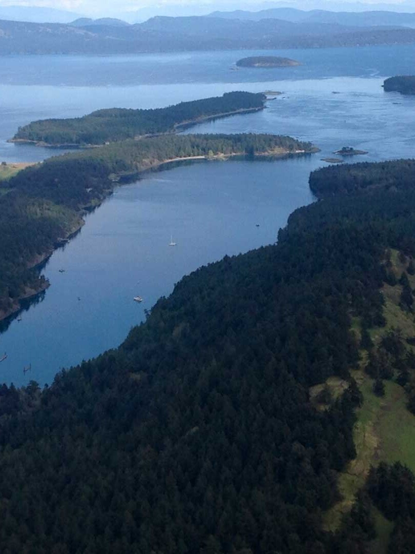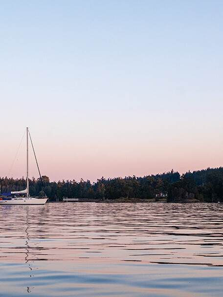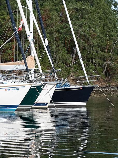
 The Canadian Gulf Islands are just across the border from the San Juans and are similar in many respects: in the large number of islands, the many marine parks, and the wealth of opportunities for boaters including some truly excellent hiking.
As we leave high summer behind us, many of us narrow our cruising scope from faraway dreams to more protected local waters—and for most readers of this publication, that includes these wonderful islands. Our previous articles about boat-accessed hikes in the Gulf Islands covered some of our favorite destinations ranging from Tod Inlet in the south to Newcastle Island to the north, and this note covers a few more. All of these represent great options for a fun autumn amble that is sure to enrich your cruising experience.
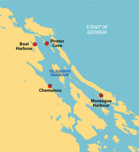
MONTAGUE HARBOUR
Galiano Island’s Montague Harbour is a marine park and a very popular destination. The harbor is well protected and contains a large number of park buoys you can tie to for a small fee, as well as considerable space for anchoring in moderate depths. For getting ashore there is a convenient dock for small vessels and dinghies that leads directly to the park uplands. There is also a private marina with some guest moorage and a store; the nearby Public Wharf provides dinghy access to the store.
Once ashore there are a number of areas to explore. Walking to the north end of the park you can descend to a nice beach. Boats often anchor here as well as in the harbor but cautiously; the beach is very exposed to northwest winds.
Walking west along the beach will take you to a peninsula that is almost an island with a marvelous trail around its perimeter. This peninsula is separated from the main park uplands by a salt marsh that is also worth exploring, though some of the trails are only accessible at lower tides. Walking east from the park will take you to a road and other Galiano Island sights, including the bus stop for the famous free bus to the Hummingbird Pub.
VANCOUVER ISLAND’S CHEMAINUS
Chemainus is a small town on the Vancouver Island shore, west of Thetis and Penelakut islands. There is a small public marina in front of the town and anchoring is possible nearby. Another way to get here is to moor at one of the Thetis Island marinas in Telegraph Harbour. From there it is only a short walk to the BC Ferry that runs between Thetis Island and Chemainus. If we needed provisions from the Chemainus store we would stay in the town marina, otherwise we prefer the more low key moorage in Telegraph Harbour.
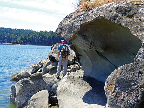
There are several easy hiking trails in woods near the ball fields just west of town, but the most interesting hiking here is town walking. In addition to many shops and galleries, Chemainus is well known for its murals; there are more than 50 painted on buildings all around the town. The murals and other public art celebrate the early history of the area and notable figures; there are works honoring its First Nations heritage and the famed BC artist, Emily Carr. Finding them and reading their stories makes for a most interesting, educational, and enjoyable hike. Best of all, it’s a hike you can do even when the weather is poor, as there are plenty of places to get out of the rain.
While it’s not hiking, Chemainus is also known for having sunk a 737 fuselage just offshore to create an artificial reef. So divers might just forgo a hike for another type of exploration.
PIRATES COVE
Pirates Cove Marine Park takes up the southeast corner of DeCourcy Island in the northern Gulf Islands. The narrow entrance to the cove is defined by a long, shallow reef with a day mark at its end. Careful piloting here is advised. At high tide the day mark appears a long way from the Cove so one might be tempted to “cut the corner,” but doing so could be disastrous. The anchorage inside is compact and most boats will need to stern tie to one of the many rings that line both sides of the cove.
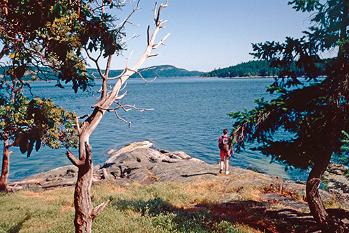
An alternative to staying in the cove itself is to anchor in the DeCourcy Island southeast anchorage that opens into Ruxton Passage. This is our preferred anchorage as it is well protected from northwest winds and stern tying is not required. It is open to southeast winds, however, so it’s a good idea to consult the forecast. The beach at the head of this little bay is part of the marine park and provides access to the trails.
This marine park isn’t large but it has some excellent hiking. Our first hike is always the trail around the outside from the south anchorage beach to the main cove. Once at the main cove we like exploring the reef; if the tide is suitably low we might even hike out to the day mark. There is a trail from the beach up the west side of the cove that ends at a DeCourcy Island public road. And there are several trails that cross the higher, forested ground in the center of the park land. The trails are all well maintained and worth exploring. Lack of a map is not a problem; you really can’t get lost since the distances are short. Even in high season, when the anchorages may seem full, the hiking trails have remarkably few people. It makes for a very pleasant diversion.
VANCOUVER ISLAND’S BOAT HARBOUR
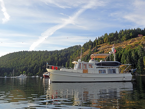
Boat Harbour is a shallow indentation in the Vancouver Island shoreline just south of Dodd Narrows. Were it not for the name you might not think it was a harbor at all. But there is plenty of anchoring room here; there’s even a small, private marina in a nook at its southern end. And it is fairly well protected from northwest winds. But it is just too exposed for our taste so we only stay for the day, preferring to anchor overnight in nearby Pirates Cove.
On the chart, Boat Harbour doesn’t look very promising but it has a hidden gem. Just a short way inland is Hemer Provincial Park and Holden Lake with a fair number of trails. Getting there from Boat Harbour is the challenge. Here’s how we go.
A stream flows into Boat Harbour at its southern end. From your dinghy on the rocky beach, a trail following an old railroad right-of-way along the north side of the stream heads inland and connects to the park after about a mile of mostly flat walking. At this point you have many trail choices; we like to start with the trail that follows the shoreline of Holden Lake. This is the Morden Colliery Regional Trail and, before it leaves the lake, side trails to the left allow exploration of other parts of the park. There are many trails and lots of exploration to be done before the tide goes out and you need to head back to your dinghy.
Looking for, and finding, hidden hiking gems is part of the challenge that makes hiking so rewarding for boaters. And the Gulf Islands are a genuine treasure trove.
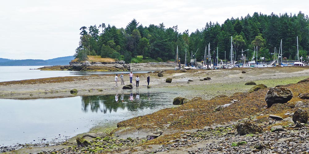
Michael and Karen have been cruising the Salish Sea and beyond for more than 20 years, hiking every chance they get. For more resources for hikers visit their web site at https://mvmischief.com/library/
For additional hiking information in this area Michael and Karen also recommend: Hiking the Gulf Islands of British Columbia by Charles Kahn.