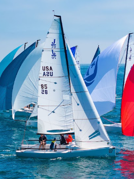
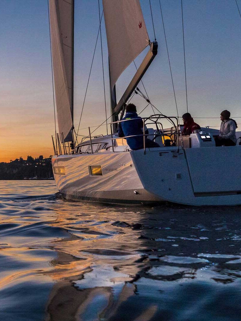
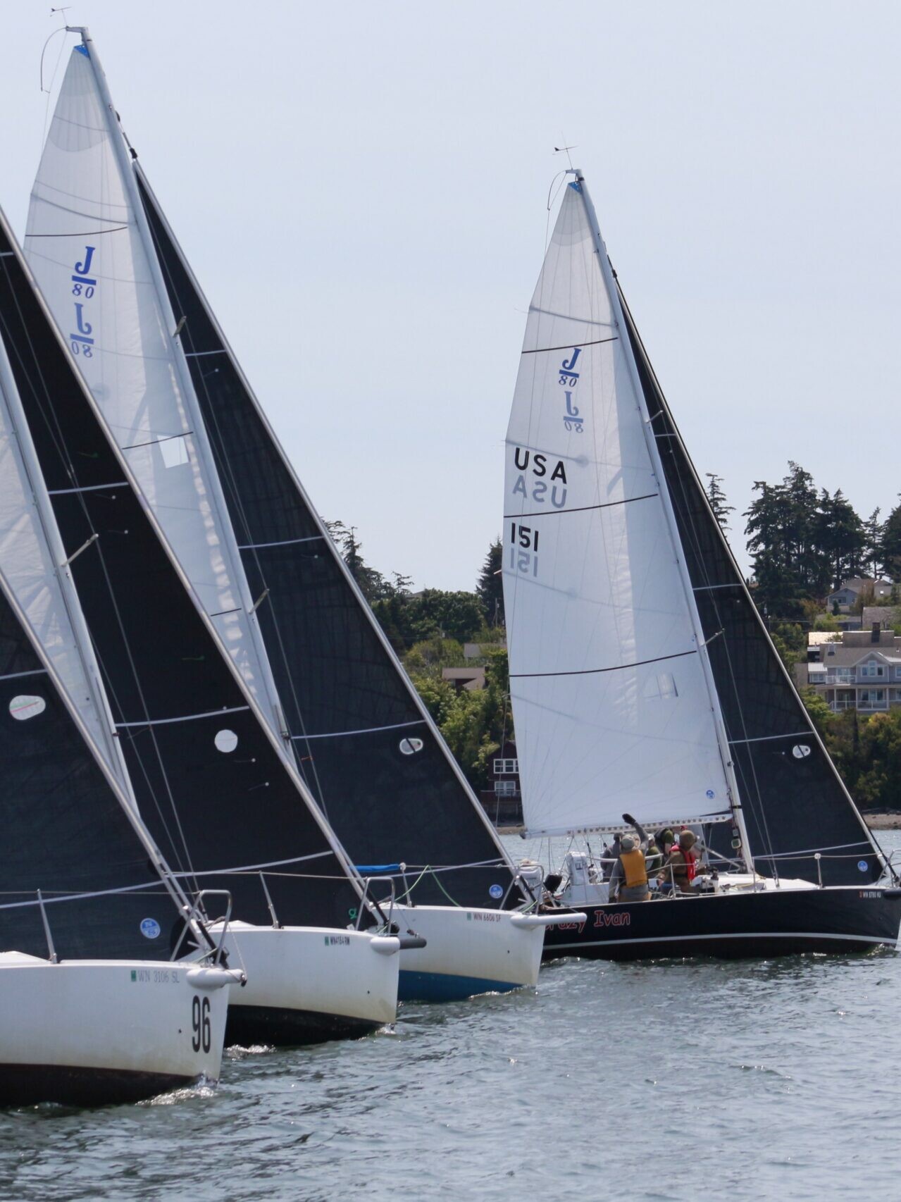
We are excited to welcome Michael Boyd and Karen Johnson to the family of 48° North columnists. Michael has written a handful of excellent 48° North features, which were paired with Karen’s beautiful photographs. Experienced and well-traveled cruisers, they are excited to share one of the major passions that cruising has enabled: exploring Pacific Northwest hikes that are difficult or impossible to access unless you arrive by boat. Though they’re going to bring you to some astonishingly remote locations, they are beginning the series closer to home.
 We like traveling by boat. Perhaps we’re drawn to it by the slow, relaxing pace, or the views of water, sky, and the distant land. Or maybe it’s the colors — mostly blues, greens, and grays. For most Northwest boaters, at the end of every day’s travel there’s a carefully selected destination. Of course, the first consideration for any boating destination is that it meets the needs of the boat for a secure place to anchor or moor. For us, this usually means anchoring. So we look for a place that’s well protected from wind and waves, has a soft bottom of suitable depth, and room to swing without encountering either land or other boats. A place where we will feel totally comfortable in leaving the boat alone.
The best destinations also provide an opportunity for shore leave. Sometimes that is only rock-hopping under a cover of trees. Other times it’s a beach that is only exposed at low tide. But we are happiest when we can go for an extended hike, along beaches or exploring farther from the water. This might mean checking out a local town (perhaps looking for a coffee shop) but more often means, for us at least, hiking through the terrain, perhaps to a viewpoint where we can see the water and maybe even our boat resting peacefully at anchor. Good hiking is an integral part of what makes for a great destination. Here are a few of our favorites near our home port of Seattle.
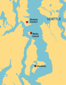
We think of Central Puget Sound as the region north of Tacoma Narrows that is an easy one-day journey from QSeattle by boat. There are lots of boats here and the shoreline is heavily populated. But despite the population pressure, there are still wonderful opportunities to moor or anchor your boat safely and take in a wonderful hike through woodlands and other wild areas.
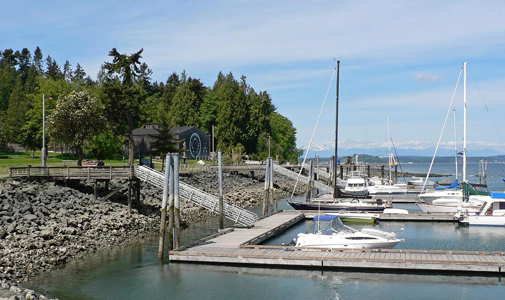
Vashon Island’s Dockton Area Trails
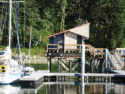
Only a short trip from the town of Gig Harbor (a great destination for road walks itself) and Tacoma, Quartermaster Harbor is a long bay on the south side of Vashon Island and Dockton is a small community on the bay’s east side. There is good protection for anchoring here, evidenced by the large number of boats on permanent moorings, and also a public dock with no services, just a set of floats. Staying here is easy whether anchored out on the broad, flat mud bottom or tied to the dock; we’ve done both. The last time we were on the dock, a mother seal spent several hours getting her young pup to climb out onto the dock right behind our boat.
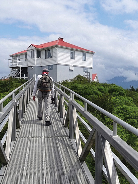
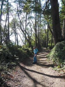
On shore is the Dockton County Park and behind it the Dockton Forest Mountain Bike Trails, a wilderness park with a large number of trails which, in turn, is connected via trails to the Maury Island Natural Area with even more trails. There are lots of opportunities for exploration here and, even though we’ve been here several times, we feel we have only just begun. Our last was a hike from the dock to the Natural Area viewpoint which is 300 feet above the water with spectacular 180 degree views from Des Moines to Tacoma. Nearby, there is even machinery left from a long abandoned sand and/or gravel quarry. More exploration awaits there. It was a warm summer day and, when we got back from that hike, the local teenagers had found a way to cool off; climb to the top of the dock building and slide down its metal roof into the water 20 feet below. Oh, to be a teenager again. That hike was about 4.5 miles but there are plenty of others, both longer and shorter.
Blake Island State Park
Blake Island is the closest state marine park to Seattle. Accordingly, and as many Puget Sound boaters know well, it has plenty of facilities for boaters with trails around and across the island in several directions. There is a breakwater protected marina on the north end of the island and mooring buoys in numerous places around the island. Anchoring is possible in several areas, but the west side seems to be the most popular. Anchoring here can be difficult; the mooring buoys are set on a shallow shelf, outside of which is much deeper water. We prefer to grab a buoy. Last time we were here, a boat anchored south of the buoys on short scope dragged ashore overnight in less than 10 knots of wind.
About half the hikes on Blake are on trails that include portions sharing the dirt roads that maintenance crews use to take care of the park. We almost always do the outside loop road as well as one or more of the interior trails. There are trail maps in multiple locations; unfortunately, they don’t always agree, so there’s sometimes that element of uncertainty that makes exploration so delicious. Luckily you can’t get too lost; you are on an island after all. The outside loop is a bit over 4 miles of mostly flat walking but there are plenty of others, offering more or less distance.
Bainbridge Island’s Blakely Harbor
Blakely Harbor is a long, narrow bay on the southeast shore of Bainbridge Island, open to the east but well protected from all normal Puget Sound wind directions. Aside from the hikes, its real claim to fame is the absolutely fabulous nighttime view of downtown Seattle and, on the right day, moonrise over West Seattle. But to enjoy all this you need to anchor. The head of the harbor shallows fairly quickly. It also narrows at this point so there is only anchoring room there for a couple of boats. Further out the harbor is wider but also deeper. Unless we just happen to get there at the right time, that is when someone just happens to be leaving, we usually find ourselves anchoring a ways out in 45-50 feet. Holding is excellent everywhere so it’s never been a problem.
The harbor is lined with houses on its north and south sides. The west end is the site of an old lumber mill, now a “park.” Shore access is at a road end just west of the last house on the north side. Once ashore, there are several popular hikes to do here. One is to explore the site of the old mill and its lagoon. There are several short trails to do just that. If you fancy a road walk you can go visit the Bainbridge Island Japanese American Exclusion Memorial over at Eagle Harbor.
But our favorite Blakely Harbor option is a hike on a nice forest trail over to Fort Ward Park on Rich Passage. It’s called the Fort Ward Hill Trail. The trailhead is in a small parking area off of the road due west of the lagoon. It’s a good, normal hiking trail (not a wide, groomed state park trail) that climbs a bit of a hill before turning south then west to meet the water again in Fort Ward Park. Once near Fort Ward Park, the trail divides providing several ways of entering the park before hitting the main park road by the water. A number of loops are possible, but a straightforward 4.5-mile roundtrip from our dinghy at the road end has been about right for us. It’s not a spectacular hike but it is a great way to spend the day while waiting for the Seattle skyline light show to begin.
Wherever you land as a cruiser, one way to find information on hikes is to check out the visitor information kiosk when you go ashore at a park, city, or town. You’ll often find a pamphlet with a trail map or destination suggestions that might be accessible from your boat.
Michael and Karen have been cruising the Salish Sea and beyond for more than 20 years, hiking every chance they get. For more resources for hikers, visit their website at https://mvmischief.com/library/.
For additional hiking information in this area Michael and Karen also recommend: Afloat and Afoot in South Puget Sound by Marge & Ted Mueller.
Photos by Karen Johnson.