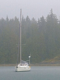
Over the last year I’ve started recording cellular signal strength and download speeds in the anchorages we’re in. While previously we were happy to have some time away from the Internet, recently it’s become more important to stay connected. This is our third year of semi-full-time cruising with no home port, and with the Canadian border closure this year we can’t go very far. So we’ve spent more time online for video calls with friends/family, work, and entertainment.
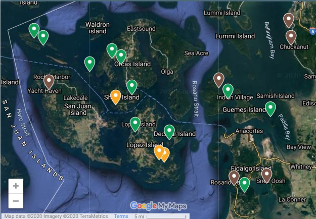
It’s often helpful to know whether we’ll have fast Internet in an anchorage before we go there. You can look at the cellular provider’s own coverage map (T-Mobile, AT&T). However these maps aren’t very accurate for boaters, and say they have 4G coverage in places where they definitely don’t. They’re not customized to the particulars of a boat in an anchorage. Getting actual, real-world speed measurements is much more reflective of how fast and reliable the signal is in a given anchorage.
The way these cellular speed measurements were collected was through the Speedtest.net app on my Pixel 3a phone, usually from the cockpit of our boat. Our Internet service is a Google Fi unlimited plan, which uses a combination of cellular networks (T-Mobile, Sprint and US Cellular, in the US) and includes roaming in Canada (or other countries) with no increased data charge.
A few caveats apply to cellular speed measurements: the results may vary based on many factors, including the weather, position of your phone, what kind of phone or service you have, and location of your boat in the anchorage (if you’re next to a big cliff that blocks the cell tower, you could have very different results from someone on just the other side of the anchorage).
Patrick Davin
Patrick and Natalie sail a C&C Landfall 38 and blog at www.svviolethour.com.
